Travel Guide of Haiku-Pauwela in United States by Influencers and Travelers
Haiku-Pauwela is a census-designated place in Maui County, Hawaii, United States. The population was 8,118 at the 2010 census.
Plan your trip in Haiku-Pauwela with AI 🤖 🗺
Roadtrips.ai is a AI powered trip planner that you can use to generate a customized trip itinerary for any destination in United States in just one clickJust write your activities preferences, budget and number of days travelling and our artificial intelligence will do the rest for you
👉 Use the AI Trip Planner
The Best Things to Do and Visit around Haiku-Pauwela
Disover the best Instagram Spots around Haiku-Pauwela here
1 - Peahi
Peʻahi is a place on the north shore of the island of Maui in the U.S. state of Hawaii. It has lent its name to a big wave surfing break, also known as Jaws.
View on Google Maps Book this experience
2 - Alexander & Baldwin Sugar Museum
Alexander & Baldwin Sugar Museum is located in the small sugarcane growing and milling community of Puʻunene, Hawaii, Kahului, Maui.
View on Google Maps Book this experience
3 - Bike Tours in Maui
Experience breathtaking views and thrilling sensations as you bike down Maui’s Haleakala Volcano during this guided tour!Haleakala is Hawaii’s third largest volcano and its otherworldly beauty dominates Maui’s eastern landscape. In the Hawaiian...
Learn more
4 - Haiku
Haiku is an unincorporated community in Maui County on the island of Maui in the state of Hawaii. For United States Census purposes, it is part of the Haiku-Pauwela census-designated place, which also includes Pauwela.
Learn more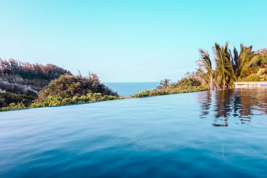
5 - Ho‘okipa
Hoʻokipa is a beach on the north shore of Maui, Hawaii, United States, perhaps the most renowned windsurfing site in the world.
View on Google Maps Book this experience
6 - Dolphin & Whale Watching | Kihei
16 km away
Embark on a boat tour of turtle town in Maui's only glass bottom kayaks and witness the variety of diverse marine life.
Learn more
7 - Paia
9 km away
Pā'ia is a census-designated place in Maui County, Hawaii, United States, on the northern coast of the island of Maui. The population was 2,470 at the 2020 census.
Learn more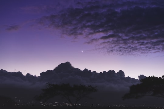
8 - Hana Highway
10 km away
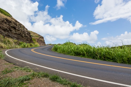
The Hana Highway is a 64.4-mile-long stretch of Hawaii Routes 36 and 360 which connects Kahului to the town of Hana in east Maui. To the east of Kalepa Bridge, the highway continues to Kipahulu as Hawaii Route 31.
Learn more Book this experience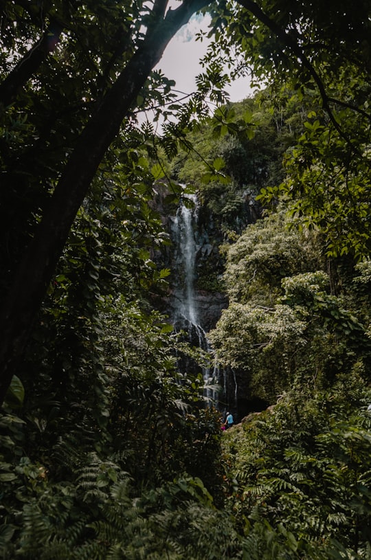

9 - Snorkeling | Maui
16 km away
Enjoy a leisurely morning before embarking on a thrilling raft boat cruise to Molokini Crater. Keep an eye out for majestic whales from December 15 to April 30, and go snorkeling in the clear water.
Learn more
10 - Kula
17 km away
Kula is a district of Maui, Hawaii, that stretches across the "up-country", the western-facing slopes of Haleakalā, from Makawao to Kanaio. Most of the residential areas lie between about 500 to 1,100 m in elevation.
Learn more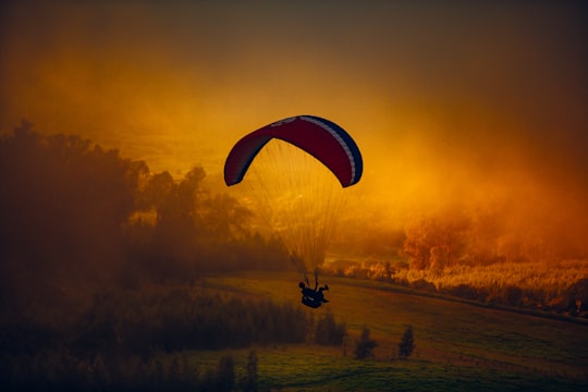
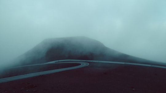
11 - Ke‘anae Valley Lookout Park
19 km away
Learn more
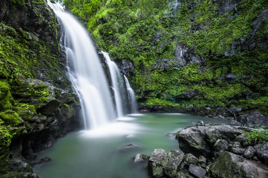
12 - Haleakalā
24 km away
Haleakalā, or the East Maui Volcano, is a massive shield volcano that forms more than 75% of the Hawaiian Island of Maui. The western 25% of the island is formed by another volcano, Mauna Kahalawai, also referred to as the West Maui Mountains.
Learn more Book this experience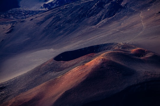
13 - Haleakalā Observatory
24 km away
The Haleakalā Observatory, also known as the Haleakalā High Altitude Observatory Site, is Hawaii's first astronomical research observatory.
View on Google Maps Book this experience
14 - Iao Valley
25 km away
Iao Valley is a lush, stream-cut valley in West Maui, Hawaii, located 3.1 miles west of Wailuku. Because of its natural environment and history, it has become a tourist location. It was designated a National Natural Landmark in 1972.
Learn more Book this experience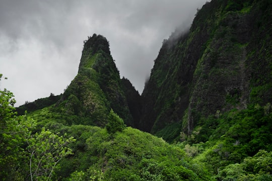
15 - Haleakalā National Park
27 km away
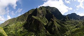
Haleakalā National Park is an American national park located on the island of Maui in the state of Hawaii. Named after Haleakalā, a dormant volcano within its boundaries, the park covers an area of 33,265 acres, of which 24,719 acres is a wilderness area.
Learn more Book this experience

16 - Iao Valley State Park
27 km away
Learn more

17 - West Maui Mountains
29 km away
The West Maui Mountains, West Maui Volcano, or Mauna Kahālāwai which means "holding house of water," is approximately 1.7 million years old and forms a much eroded shield volcano that constitutes the western quarter of Maui.
View on Google Maps Book this experience
18 - Wailea
29 km away
Wailea is a census-designated place in Maui County, Hawaii, United States. As of the 2010 census, it had a population of 5,938. Prior to 2010, the area was part of the Wailea-Makena census-designated place. The community was developed in 1971 by a partnership of Alexander & Baldwin and Northwestern Mutual.
View on Google Maps Book this experience
19 - Hawaiian Islands
30 km away
The Hawaiian Islands are an archipelago of eight major islands, several atolls, and numerous smaller islets in the North Pacific Ocean, extending some 1,500 miles from the island of Hawaiʻi in the south to northernmost Kure Atoll.
View on Google Maps Book this experience
20 - Maui
34 km away
The island of Maui is the second-largest of the islands of the state of Hawaii at 727.2 square miles and is the 17th largest island in the United States.
Learn more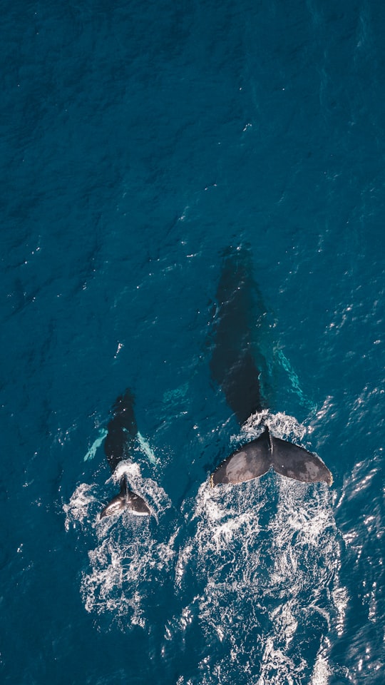
21 - Kihei
38 km away
Kihei is a census-designated place in Maui County, Hawaii, United States. The population was 20,881 at the 2010 census.
Learn more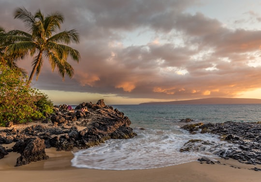
22 - Hana
38 km away
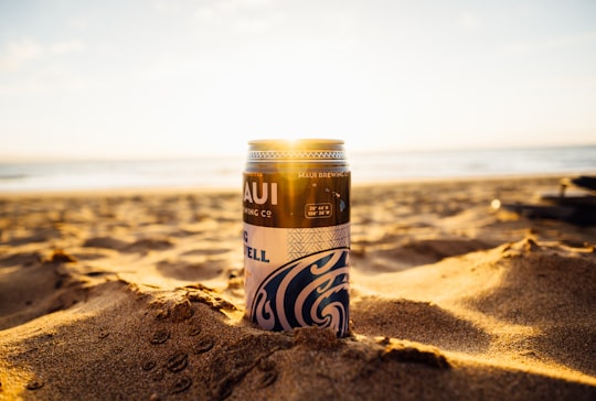
Hāna is a census-designated place in Maui County, Hawaii, United States. The population was 1,526 at the 2020 census. Hana is located at the eastern end of the island of Maui and is one of the most isolated communities in the state.
Learn more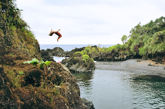
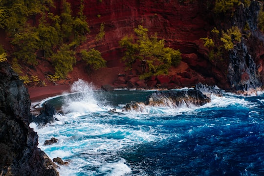
23 - Red Sand Beach
39 km away
Learn more
Book Tours and Activities in Haiku-Pauwela
Discover the best tours and activities around Haiku-Pauwela, United States and book your travel experience today with our booking partners
Where to Stay near Haiku-Pauwela
Discover the best hotels around Haiku-Pauwela, United States and book your stay today with our booking partner booking.com
More Travel spots to explore around Haiku-Pauwela
Click on the pictures to learn more about the places and to get directions
Discover more travel spots to explore around Haiku-Pauwela
🏄 Surfing spots 🏖️ Shore spots 🏞️ Waterfall spotsTravel map of Haiku-Pauwela
Explore popular touristic places around Haiku-Pauwela